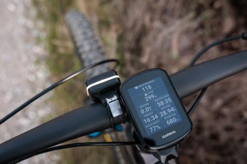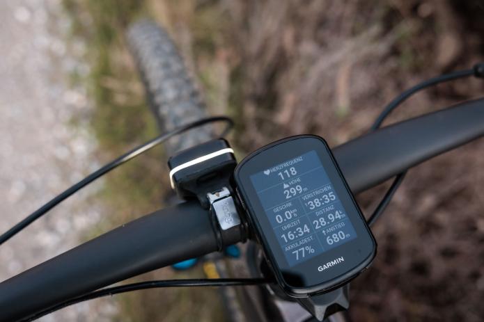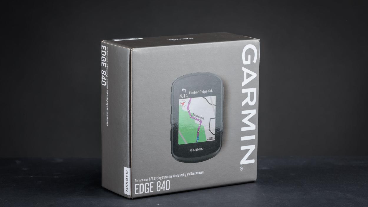
Garmin Edge 840 Long-Term Review
09.11.23 09:02 492023-11-09T09:02:00+01:00Text: Erwin Haiden (translated by AI)Photos: Erwin HaidenEnormously helpful and versatile, the Garmin Edge 840 impresses not only during the initial setup, but also surprises in the long-term review with many new and useful features.09.11.23 09:02 3792023-11-09T09:02:00+01:00Garmin Edge 840 Long-Term Review
09.11.23 09:02 3792023-11-09T09:02:00+01:00 Erwin Haiden (translated by AI) Erwin HaidenEnormously helpful and versatile, the Garmin Edge 840 impresses not only during the initial setup, but also surprises in the long-term review with many new and useful features.09.11.23 09:02 3792023-11-09T09:02:00+01:00When it comes to my tours and photo assignments, one thing I can't do without anymore is my Garmin Edge. Because of all the useful tools in my bicycle drawer, the Garmin Edge 840 is not only the most versatile, but also one of the most helpful in case of emergency.
This is due to the incredible range of functions and the now excellent mapping material that is available right out of the box and can be accessed at any time without hassle - including elevation data, mountain classifications, and route planning.
After a long season in use, it's time for a preliminary conclusion
NoSanes Interim ReviewAs a first-generation Garmin user (looking at you, Edge 500) and regular user of the Epix and Instinct watches, I thought nothing from the Garmin GPS universe could surprise me anymore. But with the Edge 840, Garmin has done just that - with a mix of highly specialized functions for bikers on one hand, and the refreshingly modern and simplified user interface on the other.
I would like to share a few of my highlights along with the experiences of the last few months in my report.
Surprisingly simple setup
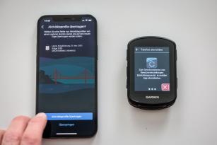
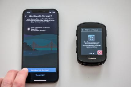
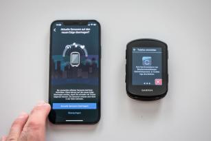
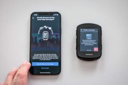
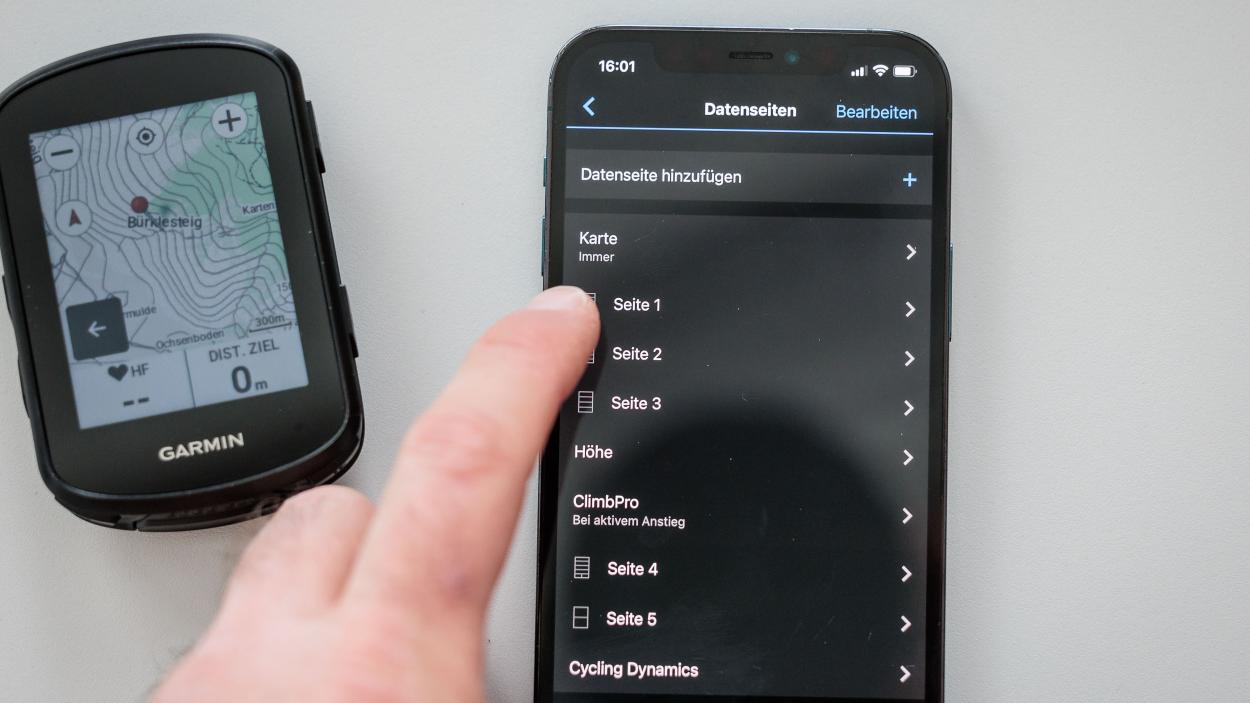
The first positive surprise concerns a point that has been criticized for years. Never before has it been so easy to set up a new Garmin device. Using a QR code, the Edge can be paired with Garmin Connect on a mobile phone. After that, you are immediately asked whether you want to transfer the activity profiles and sensors from another device (e.g., the previous model).
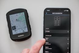
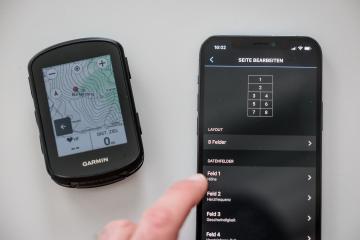
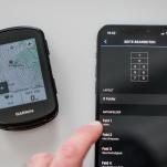
I do both, and just a few seconds later, the new 840 is essentially the same as my old 530. If you want to change a particular data field, activity profile, or certain pages, it's very easy to do via the touchscreen - or remotely through Garmin Connect on the mobile phone.
This is important because the configurability of Garmin devices has always been very high, and the Edge 840 continues this tradition. Just the different map views, from shading, level of detail, classic, MTB, or high contrast... to the map display of segments and elevation profiles - it can make you dizzy.
The additional and quite clear configuration via Garmin Connect makes things a bit easier.
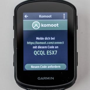
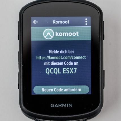
The first and for me most important app on the Garmin is Komoot. After all, I plan most of my tours and adventures through this platform.
Here, too, the pairing works with a simple code, without the need for entering email addresses or complex passwords. That's exactly how it should work, and in the end, the entire initialization and setup of the Edge 840 only takes a few nerve-sparing minutes. No comparison to previous installations!
The Edge 840 (without Solar) is the best of all Edge devices
Before purchasing, like most people, I was faced with the decision: Edge 540 or 840, with or without solar? After some research, my choice fell fairly clearly on the 840 without solar for the following reasons:
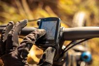
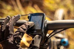
For me, the operation via buttons is important, but unlike its predecessor, where you had to choose between touchscreen or buttons, the 840 offers the best of both worlds. It seems that during the development of the menus and operability, the touchscreen functionality was given priority, but everything really works both ways, either directly via the display or via the control buttons. Apart from the price and the marginally brighter display, there's actually no reason to opt for the 540 anymore.
On the subject of solar, the experiences of various colleagues also match my own assessment. Having worn a Garmin solar watch on my wrist before, I know: With simple, relatively power-saving watches like the Garmin Instinct Crossover, the solar exposure can be enough in power-saving mode to operate the watch virtually indefinitely; at least it significantly extends the battery life. However, with the Edge 840, the energy required is so high that the solar version, with full sun exposure over hours, only extends the total battery life by a few percentage points. Therefore, for me personally, the 840 without solar is the best choice.
Technical Specifications and Highlights
A table says more than a thousand words - at least, if it's longer than a thousand words. But see for yourself. The range of functions of the Garmin Edge devices has become so extensive that a detailed presentation of all the possibilities would simply be too much. Therefore, I will focus on a few new features and highlights that I would like to explain to you in more detail.
Tech Specs General
| Dimensions | 57.8 x 85.1 x 19.6 mm |
|---|---|
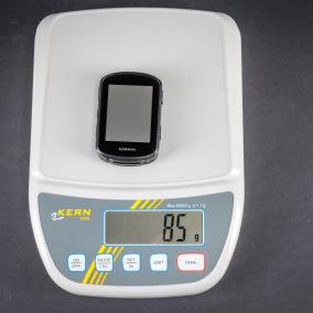
| Weight | 85 g (BB scale) |
| Waterproofing | IPX7 |
| Touchscreen | |
| Wristband Material | Silicone |
| Display Size | 66 mm (2.6-inch) diagonal |
| Resolution | 246 x 322 pixels |
| Battery Life | Up to 26 hours |
| Sensors | Gps Glonass Galileo Barometric altimeter Gyroscope Accelerometer Ambient light sensor Multiband GNSS Magnetometer |
| Connectivity | Bluetooth, ANT+, WLAN |
| Smart Features | Connect IQ (downloadable display designs, data fields, widgets, and apps) Connect IQ store on the device Receive Smart Notifications Weather Real-time settings synchronization with Garmin Connect Mobile Music functions Virb remote control Smart trainer operation |
| Safety and Tracking Features | Emergency assistance Livetrack Group Track Group Ride (Cycling) Messages from rider to rider Incident detection (including off-road) Edge search Bike alarm Weather alerts Inreach compatible |
| Training, Planning, and Analysis Features | Customizable data pages Downloadable training plans Daily workout suggestions Primary and secondary training goals Auto Pause Interval training Advanced workouts Auto Lap Vo2 max Training Status Training Load Training Load Focus Real-Time Stamina Cycling capability analysis Course requirement analysis Training effect Recovery advisor Virtual Partner Virtual Racerâ„¢ Segments Auto page switch Physio Trueup Unified training state |
| Outdoor Recreation Features | Climbpro Ascent Planner Climbpro with planned routes Climbpro without planned routes |
| Cycling Features | Courses (to compete against previous activities) Time or distance alarm (when you reach a preset value, an alarm sounds) Bike map (routing-capable road maps for cycling) MTB dynamics Compatible with Varia radar Compatible with Varia bike lights Compatible with power meters (with third-party ANT+ power meters) Course creation on the device Position search on the device Power guide Trendline Popularity Routing Popularity heatmap Bike dynamics compatible Integrated Trailforks trail data E-bike routing |
| Connectivity | Edge remote control Varia remote control Electronic shifting ANT+ Shimano Di2 Synchro Shift integration External display (a Garmin watch can share data pages with the Edge) |
| Prices | € 499,- (MSRP Edge 840) € 399,- (MSRP Edge 540) € 499,- (MSRP Edge 540 Solar) € 599,- (MSRP Edge 840 Solar) |
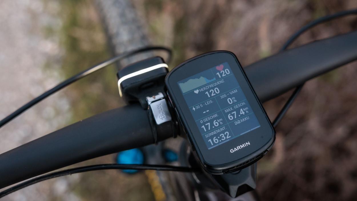
My personal favorites include, for example, the ambient light sensor, which always ensures the perfect display lighting and thus readability, the integration or control with the Di2 shift levers, the new Climb-Pro features, the font and presentation of the maps and elevation profiles, the virtual partner, the back-to-start navigation and Connect IQ including Komoot, Strava, and Trailforks.
But the battery life has also significantly improved compared to its predecessors. The theoretically up to 26 hours in GPS mode and up to 42 hours in power-saving mode are, in my experience, realistic values. On my longest rides, after 10-14 hours on the bike, I still had 40-50% battery capacity remaining.
Always present, without screaming for attention
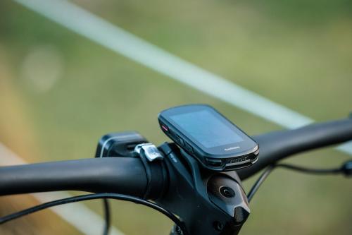
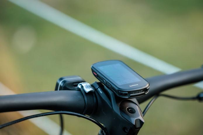
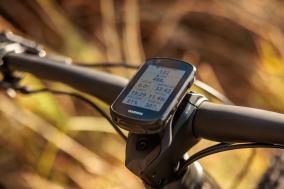
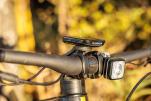
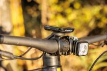
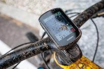
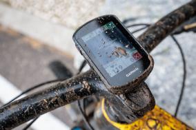
In daily bike life, the Edge 840 is conspicuously inconspicuous thanks to all its features.Surprisingly large: The Garmin Offline and Online Universe
The offline program of Garmin, as an established and innovative hardware manufacturer, now encompasses a wide range of devices: from watches that can be combined with the Edge, to power meters and indoor trainers, to the latest generation of Varia lights with radar and camera, or the Powermount for external power supply.
The Varia rear light as a safety feature is a great thing. Not just because you can see approaching vehicles on the Edge display if you wish, but mainly because the light pulsates and thus stands out clearly in traffic.
Anyway, solid hardware has always been Garmin's great strength.
As far as software is concerned, it looked a bit different for a long time. Garmin was always somewhat behind compared to the most modern sides of the industry and the user interfaces of many competitors. Garmin Connect was initially received rather critically. But this has changed due to a significantly improved update policy and especially the massive integration of the community.
Not only does Garmin Connect now offer more and more functions and interaction à la Strava, but in my opinion, especially the active maintenance of the support forums has led to a massive improvement in quality. It seems that the Garmin developers are very open to the problems and wishes of the community and power users in their in-house support forums, and I get the impression that a lot of feedback and good ideas are being absorbed and implemented from there.
Surprisingly good: Installed maps are getting better and better
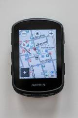
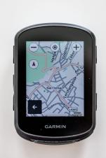
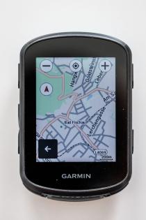
An absolute highlight for me now are the pre-installed Garmin maps. In the past, outstanding map material was often something you had to go through free third-party providers like openmtbmap or openfietsmap to get, but the currently pre-installed Garmin maps leave little to be desired.
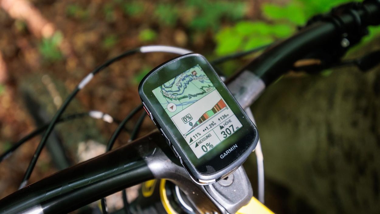
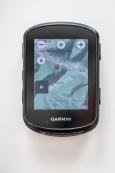
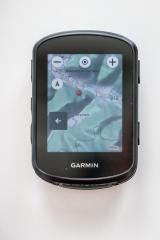
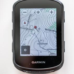
The Edge 840 and its peers now have top-notch map material including contour lines along with elevation data. This allows for precise elevation calibration at the start of a new activity on one hand, and on the other hand also previews including elevation gain for unknown climbs in the vicinity or at any location on the map - and that's Europe-wide (routing-enabled cycling map for Europe and Trailforks are pre-installed with purchases in Europe).
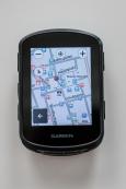
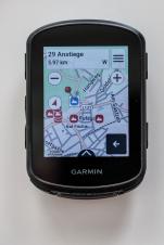
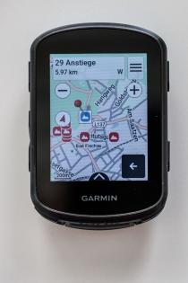
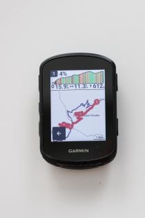
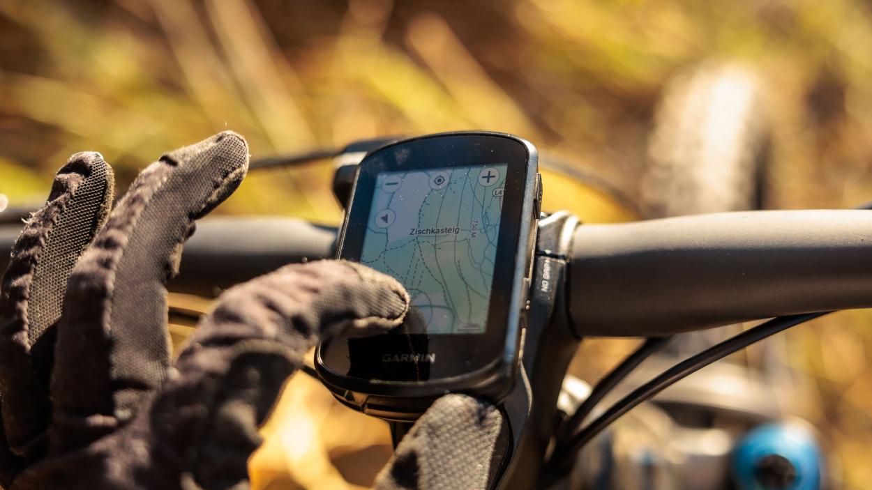
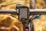
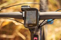
The map can be supplemented with all kinds of information. You can choose between 3 display modes (Standard, High-Contrast, and MTB) if desired, overlay a 3D shading, display climbs (category HC and 1-5), color-code streets and paths by popularity, mark busy roads (red dashed) or display segments.
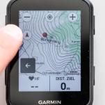
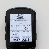
New with the Edge 840 is the option to display up to 4 (previously 2) data fields on the map screen. Thanks to newly designed menus, accessing most settings is now context-related and largely where one would intuitively expect them; in my eyes not quite perfect yet, but a significant improvement over the previous models.
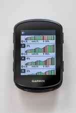
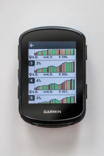
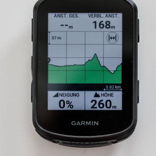
However, the real highlight is the information drawn from the map data, which by now allows for quite solid routing (from MTB to Gravel to Road cycling) and also provides very accurate elevation profiles, with which you can quite well estimate what to expect on the rest of the route - which brings us to the next point.
Gimmicks, or what?
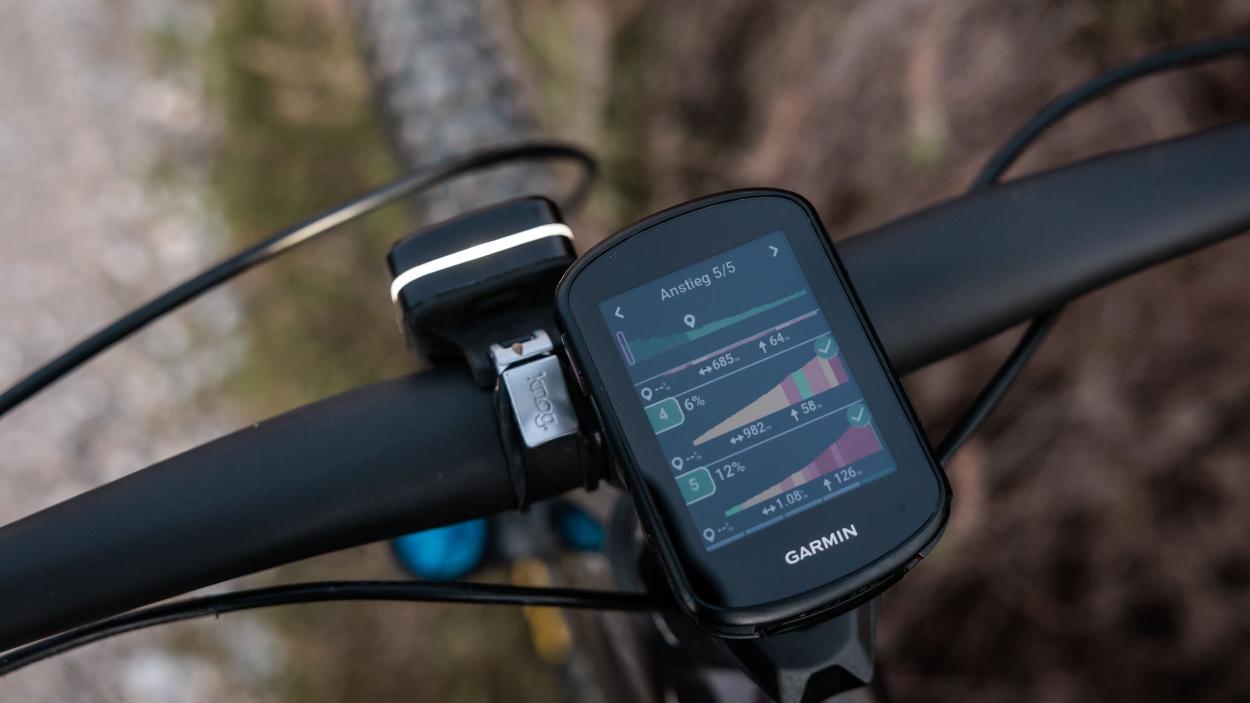
my first thought during the presentationSurprisingly useful: New features like Climb Pro without a route
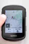
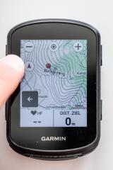
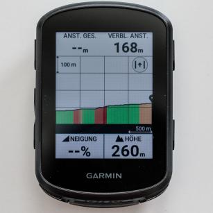
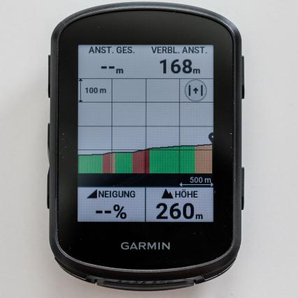
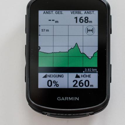
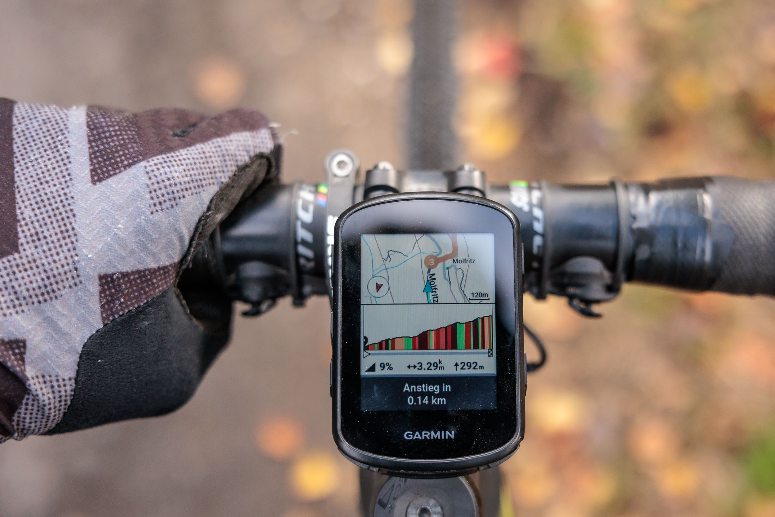
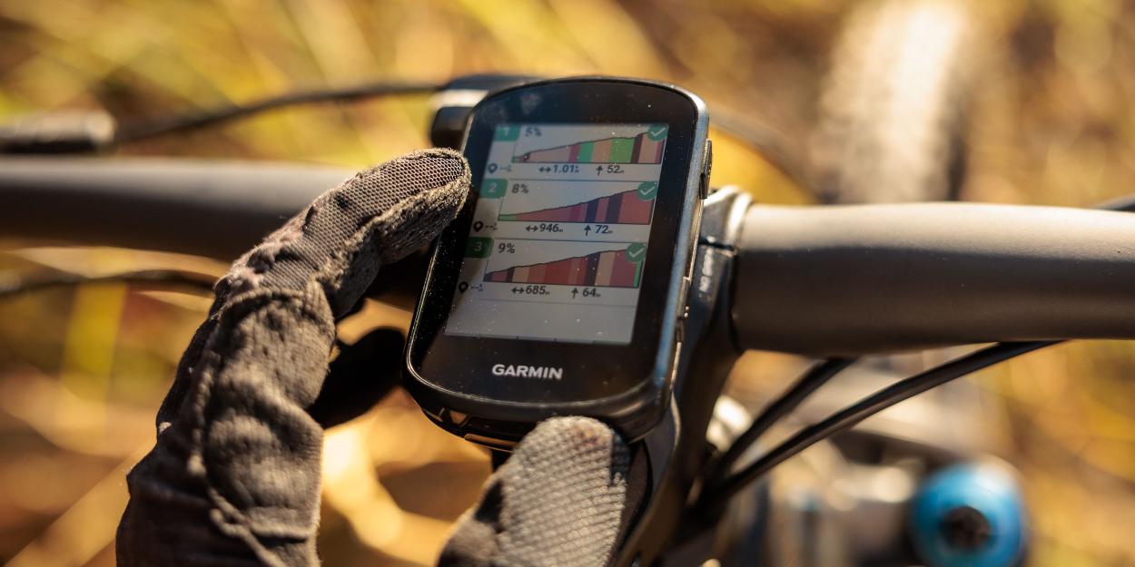
I love Climb Pro on planned routes because, unlike the stubborn summing and interpolating of altitude data that comes from the barometer, Climb Pro works with real data, with the waypoints and altitude points of a track. Thus, from a covered distance difference, there necessarily results a corresponding altitude difference, and thus a meter-accurate countdown of the altitude meters.
But how good and useful can such a feature be when you ride into the blue without planning? I was very skeptical, but this function has turned out to be extremely practical. Here is a small example from our work and cycling routine...
Δs ⇒ Δh" is a formula or symbolic representation rather than a German text. It seems to represent a relationship between two variables, which could be interpreted as "change in s implies change in h." Without additional context, it's difficult to provide a specific translation, but it does not appear to be language that can be translated into English as it's more mathematical or symbolic in nature. If "Δs" and "Δh" are placeholders for specific terms in biking or cycling, please provide those terms for a more accurate translation. Otherwise, the text remains unchanged:
"""Δs ⇒ Δh
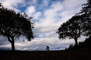
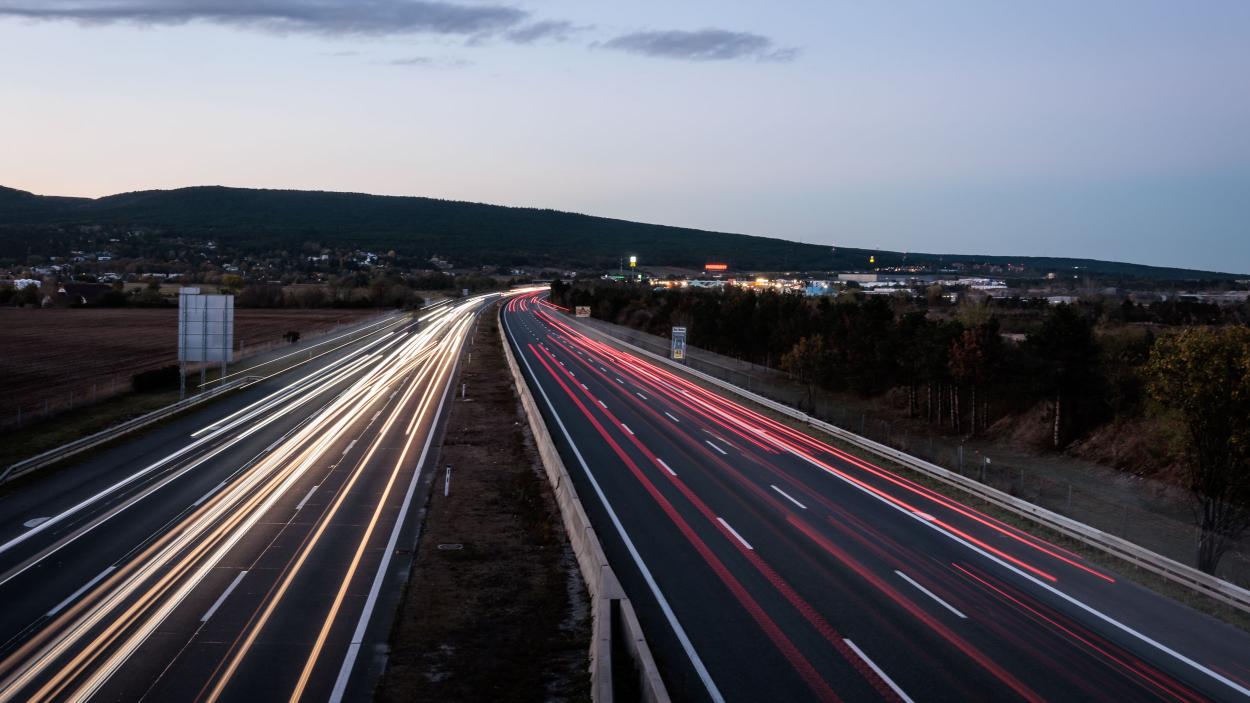
Last week, I went out to take photos with NoPain. A little afternoon spin, not too far away from the office near Ternitz was the plan. Unfortunately, at the original starting point, we couldn't find a suitable photo spot, which leads us directly to Plan B. So, we cross the S6 on our way towards Türkensturz and park our car in a bend after Gramatl, feeling like somewhere in the middle of nowhere.
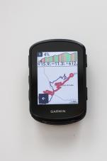
Bikes unloaded, rolling downhill and a few hundred meters further, the Edge 840 shows me a category 2 climb on the display. A little more than 400 meters of elevation gain fits perfectly into our photo-hunting scheme.
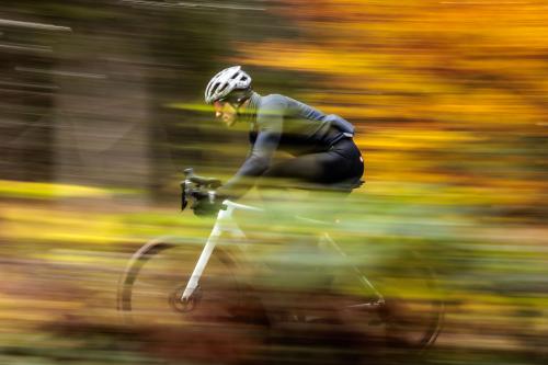
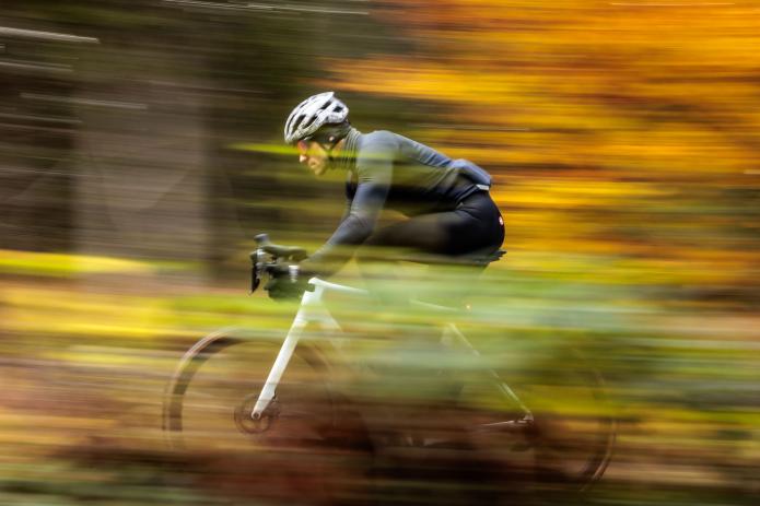
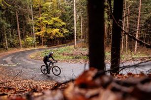
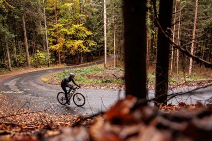
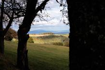
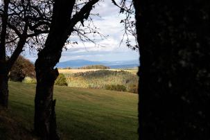
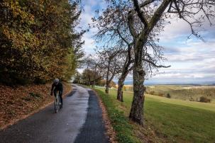
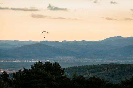
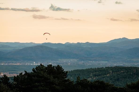
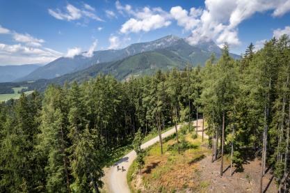
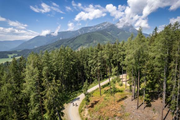
What follows is a marvelous climb over a lonely asphalt lane. First through a forest with autumnal colors, then a fantastic view towards Wiener Neustadt, bordered by Seebenstein Castle on one side and Anninger, Lindkogel, and Hohe Wand on the other.
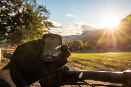
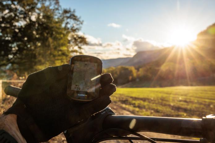
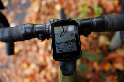
On the Garmin display, I can see the remaining elevation gain next to my current position, as long as we continue following this climb.
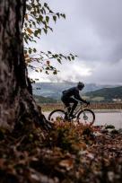
At the end of the climb, it starts to drizzle slightly. The dance of the clouds around us bodes nothing good. So, we decide to end the shoot and return to the car by the fastest route. "Back to the start" on the Garmin 840 means not "the same way", but the shortest route.
As expected, it's basically downhill according to the Garmin, and we follow - as so often - the purple line on the display. The descent also offers a few views into the wonderful autumn landscape as a highlight, some nice bends, and at the end a little gravel passage that spits us out right in the bend in the middle of nowhere, where our car is parked. Our small, fine, perfect round was complete!
Somewhere in the middle of nowhere in a curve past Gramatl
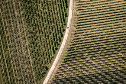
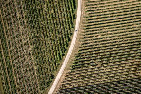
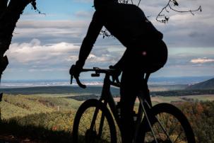
the little Garmin adventure into the unknown beginsThe photos above are from the adventure that we would not have experienced without Climb Pro. In short: Magnificent views, simple and spontaneous route planning on the device with an ideal completion thanks to the "Back to Start" function.
The text provided is an HTML iframe embed code for a tour from the website Komoot and is not in German or any language that needs to be translated. It is a code snippet used to embed a map or tour from the Komoot platform into a webpage. Therefore, the text should be left as it is.
Make a Wish and Outlook
My list of wishes for Garmin has actually become significantly shorter with the 840 because this device has improved my most important previous criticisms such as software and usability for the first time. The appearance of the menus, data fields, map, and elevation profile is now designed to be much more beautiful.
Yes, the dimensions have changed a bit. Nevertheless, I still consider the size of the Edge 840 to be something like the sweet spot between readability and style.
If I could wish for something, it would be a display with higher resolution and smaller bezels. I also hope that Garmin continues to work consistently on software improvements to make the usability even simpler despite the ever-increasing number of functions - the direction is right, but there is still a little room for improvement.
As far as product and pricing policy is concerned, I would personally prefer a cost- and performance-optimized Edge (without solar) rather than having to choose between four different devices that are more or less similar in design but, of course, compete with each other in terms of unit numbers and thus production costs.
Conclusion
| Garmin Edge 840 | |
|---|---|
| Model Year: | 2023 |
| Test Duration: | 8 Months |
| Price: | € 499,- RRP |
| + | Touch and Button Operation |
| + | Usability |
| + | Map Material |
| + | Robustness |
| + | Connectivity |
| + | Functionality Range |
| + | Climb Pro |
| BB-Verdict: | The Swiss Army Knife for the Bike Handlebar |
In my opinion, the Edge 840 is by far the best bike computer on the market. No other device is so packed with features, so individually customizable, versatile, and compatible with diverse hardware from third-party providers.
In the past, this went somewhat at the expense of simple usability, but those times are mostly over with the new interfaces.
Thus, it is also a very clever move by Garmin to combine a touchscreen with an alternative button operation, which greatly simplifies the operation, especially considering the nearly endless range of applications.
Small details like the ambient light sensor (which was also present in the predecessor) or the new Climb-Pro might seem nice at first, but then turn out to be real game-changers in everyday life.
Long gone are the times when a bike computer with a spoke magnet measured speed and distance - it's unbelievable how far the technology has advanced by now.
The new Garmin Edge 840 is a real all-round computer in a mini format. Training control, tour planning, performance measurement, navigation aid, emergency assistant, messenger, very detailed Europe map with elevation data, plus a well-readable color display with adaptive lighting, power sensor and radar integration, light control... the list of functions, as well as the battery life, keeps getting longer.
Thanks to the active Garmin community and the attentive ears of the programmers, all this is by now also a very positive experience on the software side with the Garmin Edge 840.
For my bike tours, photo safaris, and gravel adventures in familiar or unknown terrain, the Garmin Edge 840, like its predecessors, is a real enrichment and indispensable for me.
The biggest plus point compared to its predecessors, in addition to the map, is the now greatly improved usability, which thanks to buttons, touchscreen, and optimized user interfaces is much smoother than before.
For me, the Garmin Edge 840 is currently the undisputed benchmark when it comes to compact GPS bike computers on the market.
Benchmark for compact GPS bike computers
NoSanes Conclusion- Bookmark


