Bikepacking: Route Tips
24.10.23 09:27 42023-10-24T09:27:00+02:00Text: NoMan, PM (translated by AI)Photos: Jaime Dantas, Martin Bennie, Lloyd Dirksn, Marek Piwnicki, Frederico di Dio, Hans Ott, Gunnar Berthelsen, Ferdinand StohrThese days, many are drawn to cycling, as autumn is the time for tours. Those in need of route recommendations could do as Buycycle does - and let Instagram decide.24.10.23 09:27 3302023-10-24T09:27:00+02:00Bikepacking: Route Tips
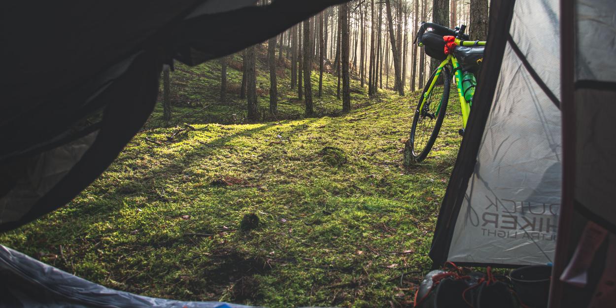
24.10.23 09:27 3302023-10-24T09:27:00+02:00 NoMan, PM (translated by AI) Jaime Dantas, Martin Bennie, Lloyd Dirksn, Marek Piwnicki, Frederico di Dio, Hans Ott, Gunnar Berthelsen, Ferdinand StohrThese days, many are drawn to cycling, as autumn is the time for tours. Those in need of route recommendations could do as Buycycle does - and let Instagram decide.24.10.23 09:27 3302023-10-24T09:27:00+02:00Finally autumn, just as one imagines it, and thus finally weather as one wishes for epic bike tours: cold nights and foggy mornings, followed by sunny days that make the surroundings shine in mild light and full of colors.
But where to go?
Those looking for inspiration for a short weekend getaway, a longer bikepacking break, or the ultimate autumn adventure might find it in the following lines. Because they sum up the most frequently posted bikepacking routes in Europe on Instagram. Not us saying it, but the second-hand platform buycyle.com, which has taken the trouble to sift through over 100 route suggestions published on bikepacking.com, each with more than 200 kilometers in total length, in terms of their Instagram presence.
Taking first place with over 51,000 hashtags until September 2023 is the GR5 through the Belgian Ardennes. Routes in Norway (> 27,000) and Italy (> 22,000) follow with about half as many entries. The extended podium is rounded out by Sweden (>12,000) and Scotland (> 10,000).
To what extent Instagram hashtags can be a measure of whether a route is recommendable or not is debatable. However, they certainly serve as a source of ideas and inspiration. In this sense: Have fun browsing!
1. GR5 Trans Ardennes - 219 km/3,400 elevation gain
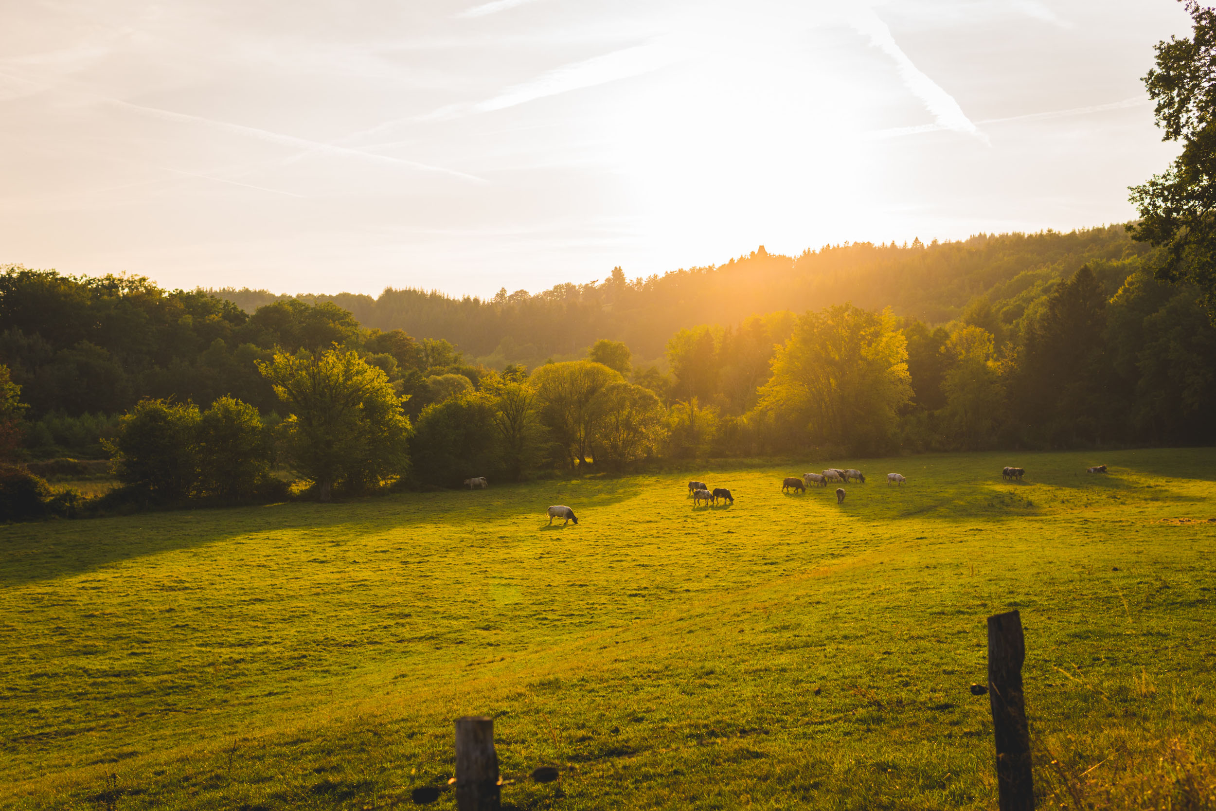
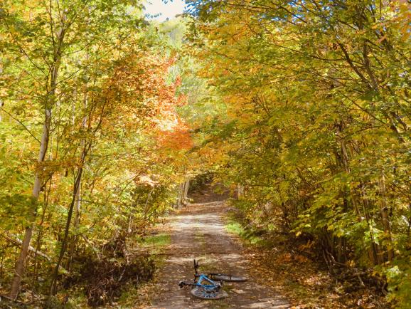
Actually, the GR5 is a transnational long-distance hiking trail, which leads from the North Sea to the Mediterranean near Nice over 2,080 km. Specifically, its Belgian section through the Ardennes seems to have caught the attention of gravel bikers as well and, due to the high percentage of deciduous forests, it should be a good tip especially for autumn.
The mentioned 219 kilometers include very diverse terrain, from sometimes quite rough gravel paths over forest trails to asphalt roads, and remain true to the hilly characteristics of the green heart of Wallonia, reaching up to 576 m above sea level.
2. Of Milk and Navvies - 383 km/7,282 m elevation gain
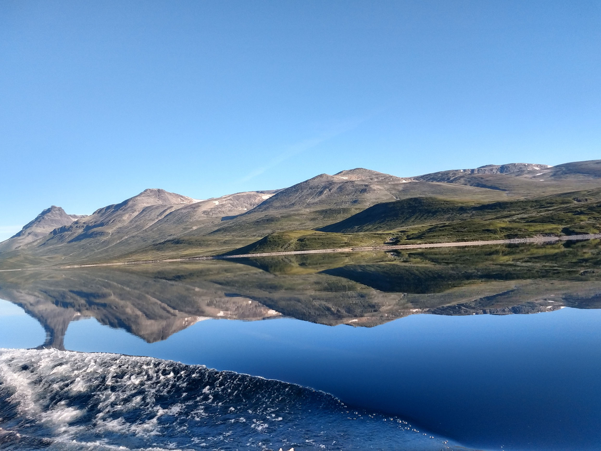
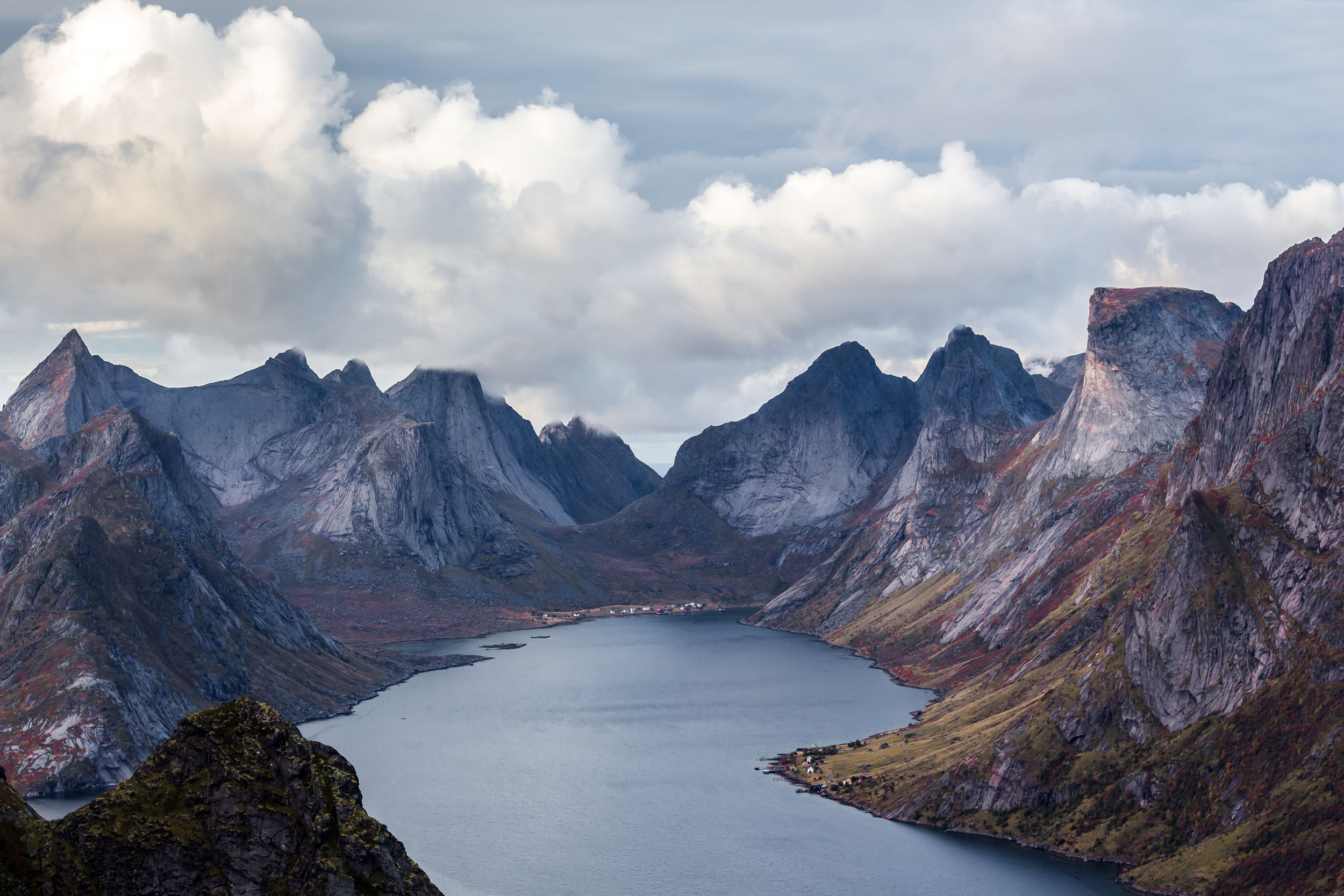
A Norwegian best-of is offered by this route, which actually takes on two established gravel routes in the heart of Norway: the Mjølkevegen (Milk Road) and the Rallarvegen (Navvies Road). Fjords are just as much a part of the experience as genuine mountain passes (highest point: 1,322 m) or endless expanses.
While the first part of the route is also characterized by milkable livestock, the second part is thematically dominated by the Bergensbanen - the railway that connects Bergen with Oslo and is considered one of the most scenic train routes in Northern Europe.
3. Ligurian High Route - 488 km/21,140 m elevation gain
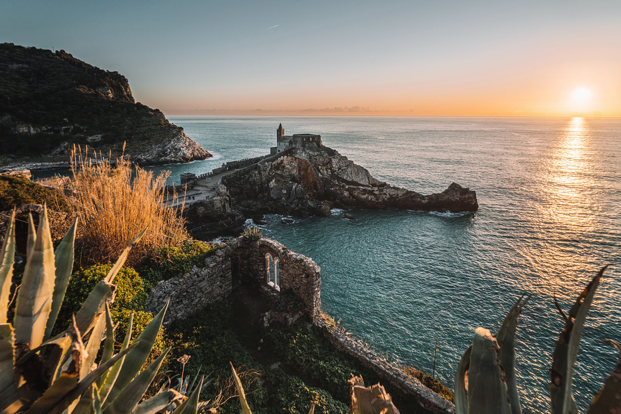
The Alta Via dei Monti Liguri, or AVML for short, as this long-distance hiking trail is called in Italian, is a 488 km long coastal dream through the Ligurian Alps and the Ligurian Apennines, with the bikepacking version additionally including sections of the Alta Via stage race. It runs from Ventimiglia to Ceparana, that is from the French border to Tuscany or vice versa - and that consistently challenging over old military roads, rocky singletracks, and steep hiking trails.
The reward for the efforts encompassing over 21,000 meters in elevation gain are breathtaking views of the Ligurian coast and the sea.
4. Bergslagsleden - 299 km/3,522 m of elevation gain
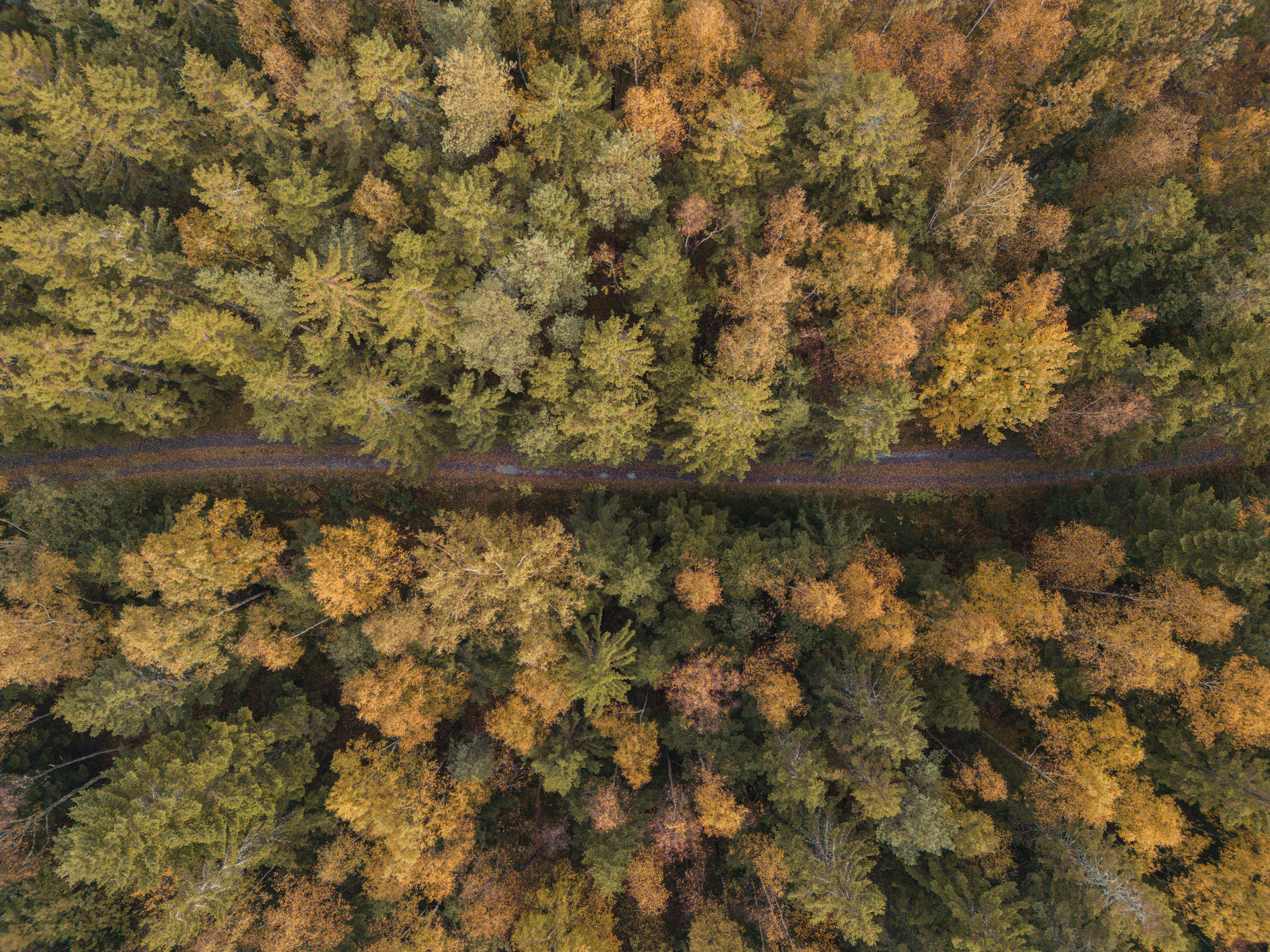
For those who find the Waldviertel not forested enough and Lake Neusiedl lacking in mosquitoes, they should perhaps direct their steps towards Sweden, more precisely: the Minar's Trail. 60% of the bikepacking suggestion follows the eponymous hiking trail through a former mining area. Where this north-south connection becomes too rough or the supply situation dictates, it deviates into simpler or more civilized areas.
A technically demanding start is followed by easier fare, with short carrying passages to be expected at any time during the constant ups and downs. But also to be expected are fantastic impressions and experiences with nature...
5. Ten Peaks Trail - 389 km/8,508 m elevation gain
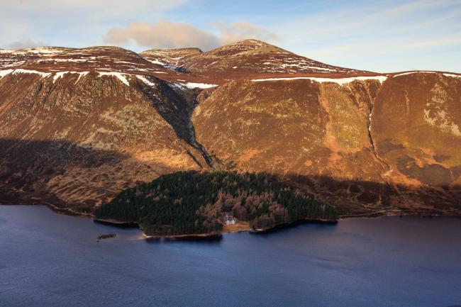
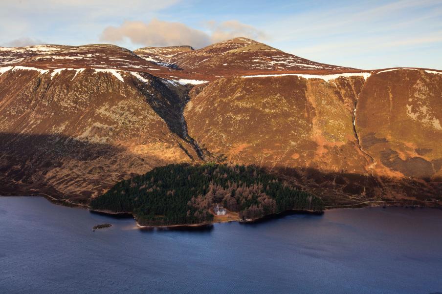
No, the Canadian Ten Peaks Valley is not the destination of this ride, but rather some of the highest (more or less) accessible places in Scotland. It starts in Glasgow and ends in Lossiemouth in the Moray Firth Bay on the north coast, thus leading from the rather gentle Lowlands to the wild, rugged Highlands.
As the name suggests, among other things, it involves conquering ten peaks. However, one does not exceed an altitude of 1,048 meters above sea level. But this is entirely sufficient given several Bike & Hike sections and the typically challenging Scottish weather.
Places 6-10
- La Grand Traversée du Massif Central, France - 718 km/12.139 m of elevation gain
- Montanas Vacias (Empty Mountains), Spain - 679 km/12.841 m of elevation gain
- Capital Trail, Scotland - 238 km/5.008 m of elevation gain
- Marmot's Land (In the Land of Marmots), Switzerland - 222 km/7.002 m of elevation gain
- La Grande Traversée L'Alpes-Provence, France - 299 km/7.781 m of elevation gain


